Track B
Králův kámen - Modrý kámen - Tajga - Strážiště - Farská kyselka - Smraďoch - Nimrod
Elevation profile
Total descent and ascent
Total descent0 m
Total ascent0 m
Estimated time1:30 hour
Length8,5 km
Route difficultyMedium
Starting PointKrálův kámenDestination PointNimrod
GPX track logDownload route
Track suitable for
cross-country skiing
More detailsDownload map of Cross-Country Ski Tracks
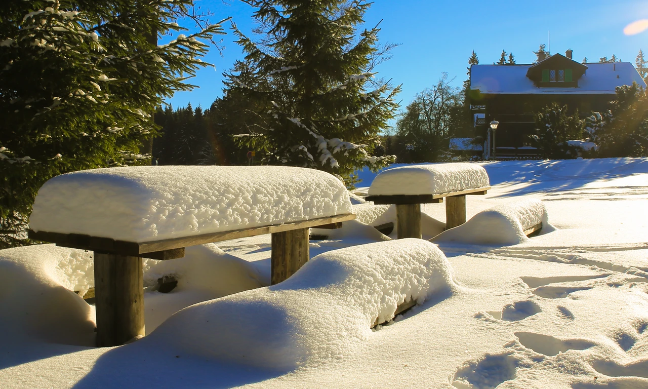
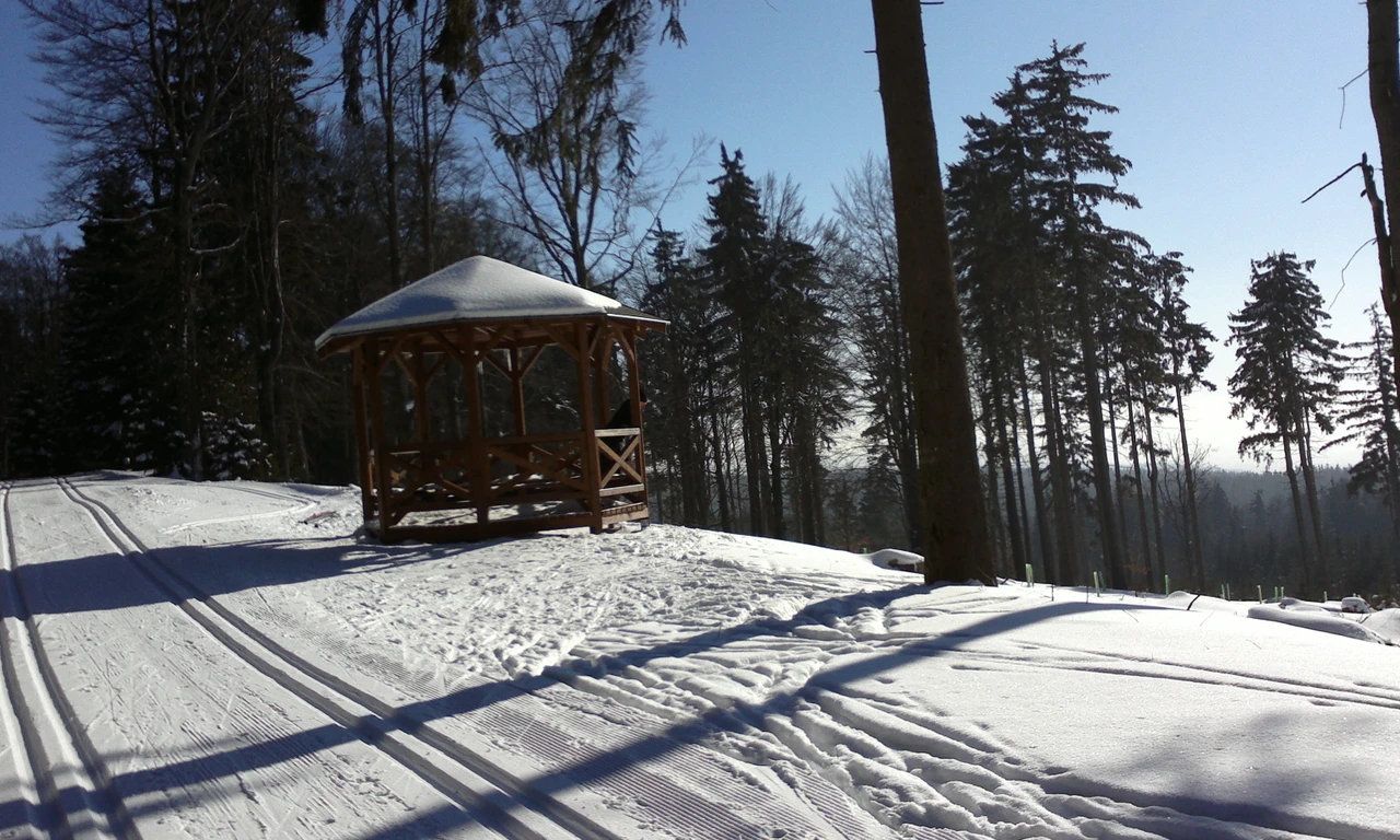
Gallery

Suitable for cross-country skiing.
When it snows, it takes about 3 days to complete the clearing of all tracks.
The Official Tourist Website for Marianske Lazne
