Wetland below Vlček - Mokřady pod Vlčkem
You won't find a single place in the entire Slavkovský Forest that suffers a lack of moisture. Often in times when wandering through the woods you might find yourself endlessly jumping over creeks and little streams as well as extensive wetlands.
One such spring is the location of a specially protected territory named Mokřady pod Vlčkem after the nearby hilltop. This is located near the spa village named Prameny.
Basic information | |
Category | nature reserve |
Altitude | 750 – 760 above sea level |
Extent of specially protected area | 40.6166 hectares |
Border length | 3900 m |
Basic characteristics
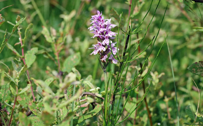
This is a rich mosaic of wetland communities passing over in places to bear grass meadows and wetland willow carrs. There are several smaller ponds in the northern area of the territory, around which the most valuable bog communities can be found. East of the ponds, gas discharges known as mofette are found. Both parts are spread out along smaller water streams, the tributaries of the Pramenský and Mnichovský Creek. While the northern part of the territory is completely deforested, the eastern half of the southern part is mostly formed by waterlogged pine grove.
Geology
Quaternary loamy sediments, peat bogs, amphibolites, and occasional serpentinites of Slavkovský crystal.
Geomorphology
The foot of a marked serpentinite ridge. The area's altitude ranges between 708 and 814 meters. The territory is located on the boundary of the geomorphological entirety of Slavkovský Forest and Tepelský Highlands (Krásenská Highland and Mariánskolázeňská Highland).
