Track A
Golf - prameniště Teplé - Na Zeleném - Rájovská myslivna - Rájovský vrch - Golf
Elevation profile
Total descent and ascent
Total descent0 m
Total ascent0 m
Estimated time2:00 hour
Length9,2 km
Route difficultyMedium
Starting PointGolfDestination PointGolf
GPX track logDownload route
Track suitable for
cross-country skiing
More detailsDownload map of Cross-Country Ski Tracks
Gallery
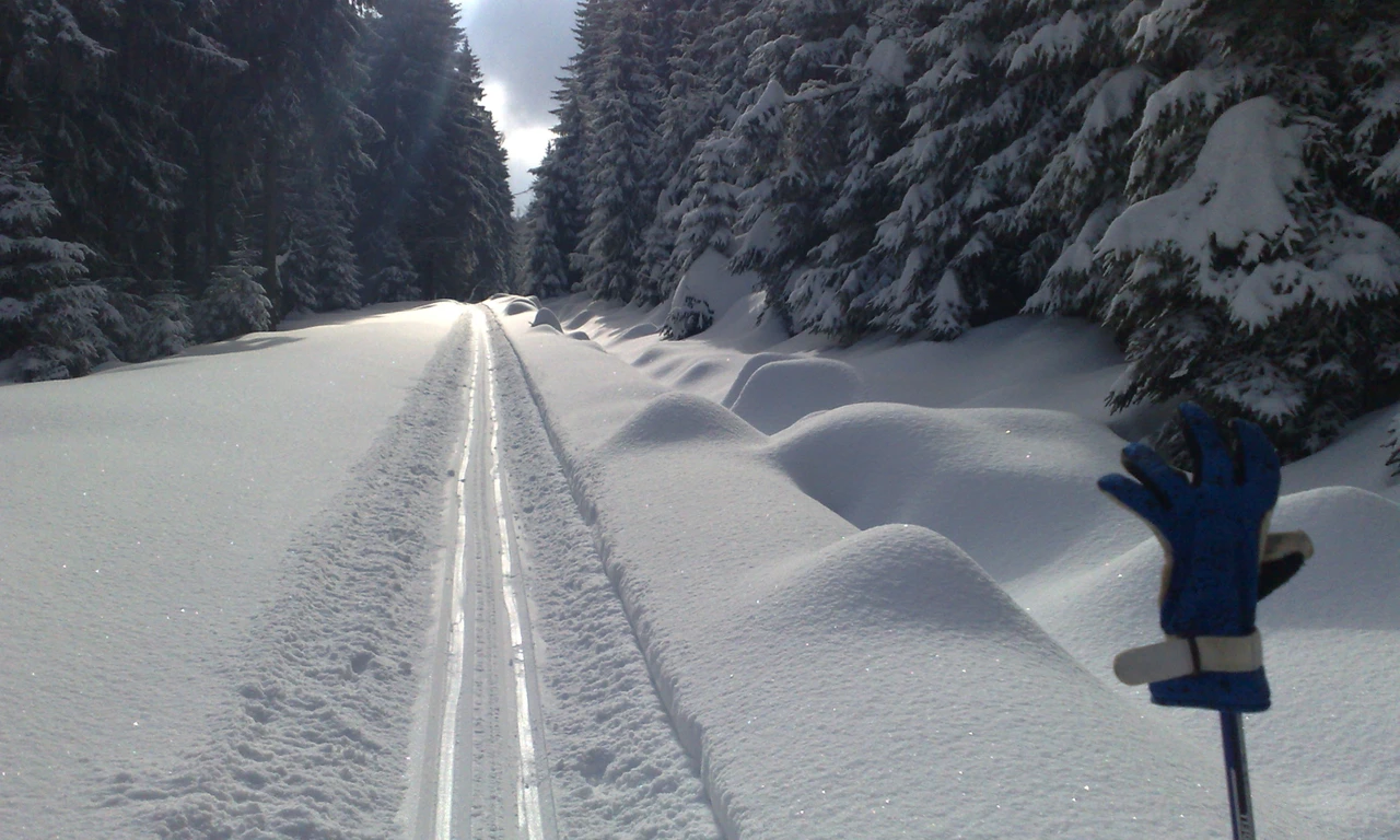
Suitable for cross-country skiing.
When it snows it takes about 3 days to complete the clearing of all tracks.
The Official Tourist Website for Marianske Lazne
