Strecke C
Golf - Žabí jezírko - nad přehradou - Polom - Golf
Höhenprofil
Gesamtab- und Aufstieg
Gesamtabstieg0 m
Gesamtaufstieg0 m
geschätzte Zeit1 : 30 Std.
Länge6,2 km
Route BeschwierigkeitMittelschwer
Ausgangspunkt GolfRoute EndeGolf
GPX Route AufnahmeRoute herunterladen
Strecke geeignet für
Langlauf
Galerie
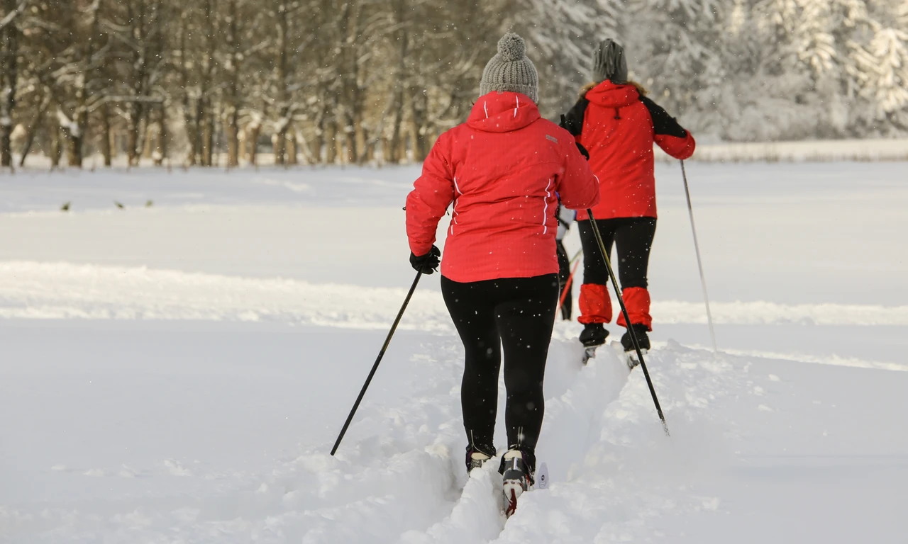
Vhodná pro klasický běh.
Pokud napadne sníh, trvá cca 3 dny, než jsou všechny stopy kompletně upraveny.
Das offizielle Tourismusportal von Marienbad
